It is not all Mesolithic in this archaeologist’s life. Last year around this time I took a break from my PhD-research, mainly to earn some money. It turned out it was not bad either to gain some distance from it and to then return to it with a fresh mind almost a year later. It also meant this blog went on a little hiatus. But isn’t it amazing, that after more than 10 years (!!!) it’s still going?! In the meantime, I joined a small team of the Service Archéologique du canton de Berne on a rescue excavation of a Middle/Late Bronze Age settlement near the Lac du Bienne in western Switzerland. It was a geologically interesting location and the site helped to fill a chronological and geographical hole in the prehistory of the region. The famous lake side villages give us a good understanding of the region’s occupation during the Late Bronze Age and the Neolithic. The period in between is sadly less well known in the region. Because of their early discovery and the amazing preservation of organic materials, the focus of archaeologists in the region has long been on these lake side villages. What took place during prehistory beyond these lakes was considered less interesting. The past years has seen a number of rescue excavations and research projects addressing these themes and our excavation of “Sutz-Lattrigen Hauptstrasse 57, 59, 59a” plays its own small part in that.

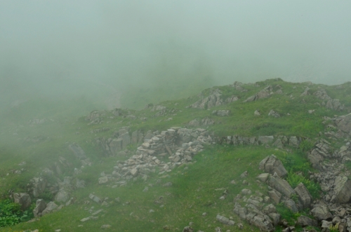
You wouldn’t think it from this photo, but for most of the excavation we were very lucky with the weather. This changed in December…
Our initial report has now been published in the Jahrbuch Archäologie Bern 2018 (full citation below). We were able to excavate part of a settlement dating to the Bronze Age C/D – Ha A1 (that is the Middle to Late Bronze Age). Apart from building remains (C14-dated to around 1500-1270 cal BC) and a large amount of ceramics and some metal finds, we also discovered a large cup-marked erratic boulder (“Schalenstein” in German). In fact, it was a regular visitor to the site, 8-year-old budding archaeologist Nahly P. who discovered the cup marks! She lives nearby and often came to visit us with her mother or grandmother to see what we were finding and helped us, of course using her own brush and trowel. The erratic seems to have been placed in a pit with some care and deliberation, together with four smaller boulders. Three of the latter were placed at the same depth in a row in front of the section with the cup marks. Many cup-marked stones are known from the region and from Switzerland in general. Few, however, are found in a prehistoric settlement context and few are secondarily deposited in a pit. When and why this happened will remain unknown for now. Two radiocarbon dates from small charcoal flakes taken from the pit fill date to the Middle Ages, but sadly this tells us very little as it is hard to known how and when these tiny charcoal particles got into the fill.
Finding this cup-marked stone reminded me of something Prof. Richard Bradley wrote in his classic The passage of Arms:
“Much of the difficulty is created because only two stages of the life cycle of an artefact can actually be observed: its production and its final deposition. What happened in between needs to be inferred.” (Bradley 1990, p.33)
Now I am back working on my PhD about the Mesolithic-Neolithic transition in Switzerland and the Jura Mountains. You can find out more about the site in Sutz-Lattrigen, the finds and the cup-marked stone in the Jahrbuch Archäologie Bern 2018. A short note also appeared in the Jahrbuch Archäologie Schweiz 101, 2018.

The crack team of the Service Archéologique du canton de Berne excavating at Sutz-Lattrigen-Hauptstrassse 57, 59, 59a.
Cornelissen, Marcel; Ramstein, Marianne; Stapfer, Regine; Zaugg, Pascal (2018), Sutz-Lattrigen, Hauptstrasse 57, 59, 59a. Eine mittelbronzezeitliche Siedlung über dem Bielersee. In: Jahrbuch des Archäologischen Dienstes des kantons Bern, S. 107-109.
Cornelissen, Marcel; Stapfer, Regine (2018), Sutz-Lattrigen BE, Hauptstrasse 57, 59, 59a. In: Jahrbuch Archäologie Schweiz (101), S. 188.